PATHR combines charts, weather and trip planning into one platform for recreational boaters.
Whether heading to Catalina Island, chasing tuna offshore or spending the afternoon sailing along the Southern California coast, most boaters rely on several different tools before leaving the dock. Checking marine forecasts, tides, charts and vessel traffic has become part of the routine.
A new boating app called PATHR hopes to make that process easier.
PATHR is a marine navigation app designed to bring many of the tools boaters use every day into one place. The app includes navigation charts, weather information, route planning, anchoring locations and Automatic Identification System (AIS) vessel traffic, allowing users to better prepare before getting underway.
According to founder Lucas Wright, the goal is to simplify the boating experience by providing the information captains need in a single platform rather than requiring them to switch between multiple apps.
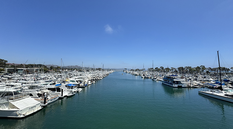
For Southern California boaters, the app could be useful whether planning a crossing to Catalina Island, cruising between local harbors, sailing offshore or heading out on a fishing trip. Having navigation, weather and route planning available together may help captains make more informed decisions before and during a trip.
One feature currently under development is PATHR Co-Captain, an artificial intelligence assistant designed to provide trip planning assistance, answer boating questions and offer helpful reminders while on the water.
While technology continues to improve, PATHR is intended to complement—not replace—good seamanship. Boaters should continue to carry proper navigation equipment, monitor changing weather conditions and always rely on safe boating practices.
As more technology finds its way aboard recreational boats, apps like PATHR offer another option for Southern California boaters looking to simplify navigation and spend more time enjoying the water.