SANTA BARBARA—Santa Barbara has released its draft Sea-Level Rise Adaptation Plan for public review. Like many California coastal communities, Santa Barbara has been working on a plan for reducing vulnerabilities from potential sea-level rise. The plan includes detailed recommendations for necessary actions in the next ten years and a structure for future decision-making.
The plan is largely based on projections from a 2018 statewide analysis of potential sea-level rise scenarios. Those scenarios include the near-term, 2020-2030, when 0-0.8 feet of sea level rise is predicted; mid-term, 2030-2060, when 0.8-2.5 feet is predicted; and long-term, 2060-2100, when 2.5-6.6 feet of sea level rise is predicted.
The plan said the city will need to monitor and evaluate the trajectory toward these thresholds to track whether and when these thresholds are met. The plan recommended the city, in consultation with other regional, state, and federal agencies, create a Shoreline Monitoring Program to track changes in environmental conditions.
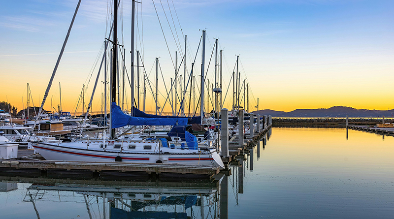
According to the plan, at around half-a-foot of sea-level rise, the city will need to consider how to protect the harbor commercial area and parking lots. The plan said with 2.5 feet of sea-level rise, most harbor functions would be impeded and high tides would exceed marina guide pile...

")