California’s emergency declaration puts coastal flooding and winter storms in focus, while a changing Pacific can also influence hurricanes, marine life and the fishing season.
A warm-water fishing season can make El Niño sound like good news to Southern California anglers. Yellowfin tuna, dorado and other species associated with warmer water may draw attention offshore. Along the coast, however, that same conversation now includes flooding, erosion and the prospect of a difficult winter.
Gov. Gavin Newsom declared a statewide state of emergency Sept. 21 to prepare California for the developing 2026–27 El Niño. The proclamation directs agencies to stage flood supplies, identify vulnerable infrastructure and coordinate with local governments before severe weather arrives. It’s a preparedness measure — not a prediction that every harbor will flood or that a particular storm is on its way.
El Niño is the warm phase of a recurring climate pattern in the tropical Pacific. During an El Niño, ocean temperatures there rise above average and trade winds weaken. Those changes can affect atmospheric circulation far beyond the tropics, shifting storm tracks and increasing the odds of a wetter winter across the southern United States. Its counterpart, La Niña, features cooler tropical Pacific waters and stronger trade winds; it generally tilts Southern California’s winter odds toward drier conditions. Neither phase dictates what will happen in any one city or during any one storm.
This year’s outlook has given state officials reason to act early. In its Sept. 10 discussion, the National Oceanic and Atmospheric Administration’s (NOAA) Climate Prediction Center said El Niño was strengthening and put the chance of a very strong event during fall and winter above 90%. The state proclamation also notes an important limit: Past strong El Niños have not produced uniform results across California. A statewide emergency therefore prepares agencies for a range of possible impacts without promising a particular rainfall total or surf height.
For residents, those impacts can extend well inland. Heavy rain can overwhelm drainage systems, close roads and trigger mud and debris flows, particularly in areas recently affected by wildfire. Flooding can interrupt power, transportation and other essential services. The proclamation directs state agencies to work with local and tribal governments on planning and to give added attention to communities that may have fewer resources or less access to transportation during an emergency.
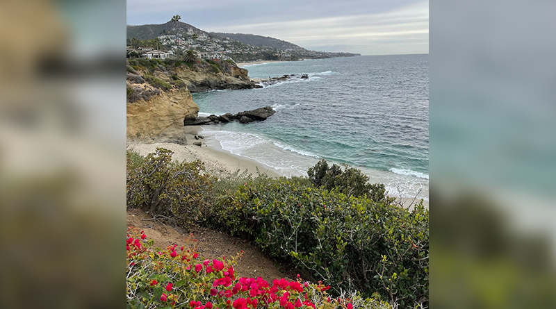
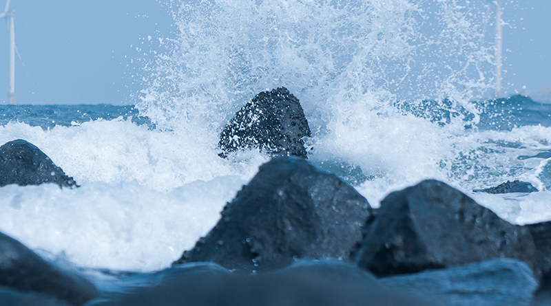
At the waterfront, the risks can arrive from more than one direction. Elevated coastal water levels, large waves and high tides can combine to push water farther ashore. Beach and bluff erosion may threaten shoreline property and public access, while heavy rain can complicate travel to harbors and launch ramps. A boater may find the boat secure in its slip but the route to the marina closed. The state’s preparations account for those connected problems, from flood protection to transportation and utility service.
The proclamation calls on the Department of Water Resources to stage and replenish sandbags, rock, plastic sheeting, pumps and other flood-fighting materials. Transportation officials must identify at-risk highways, bridges, culverts and slopes, then plan where to position road-closure equipment and crews. The California National Guard is being asked to identify personnel and equipment that could support flood response, evacuations, search and rescue, and other missions if called upon.
Coastal communities also have a route to move protective projects forward more quickly. The proclamation directs the California Coastal Commission to expedite review of proposed El Niño preparations. It sets short response timelines for applications and directs the commission to act on urgent emergency permit requests as quickly as possible, within 24 hours when necessary. For waterfront areas facing erosion or flooding, the practical value is the ability to seek review before damage worsens.
Hurricanes add another layer to the story, although the relationship needs careful wording. El Niño does not cause an individual hurricane. It changes the background conditions that can make hurricane activity more or less likely in different ocean basins. NOAA says El Niño often favors more activity in the eastern and central Pacific, where warmer water can provide energy and atmospheric conditions can become more favorable for storms. Across the tropical Atlantic, increased vertical wind shear during El Niño generally makes it harder for developing storms to organize. These are seasonal tendencies, not guarantees about the strength or path of any particular hurricane.
That distinction matters in Southern California. A hurricane need not make landfall here to affect the coast; distant storms can send swell toward beaches and harbor entrances. Whether a particular swell reaches a given stretch of shore depends on the storm’s location and track, as well as the coastline’s exposure. Boaters and anglers should treat a hurricane swell as a forecast-specific concern rather than assume that an active Pacific hurricane season will produce the same conditions everywhere.
Hurricanes and winter storms also operate on different time scales. Pacific hurricane activity is primarily a summer and fall concern, while El Niño’s influence on U.S. winter storm patterns tends to become more pronounced later. Together, they show why a seasonal climate outlook is useful for preparation but cannot replace a marine forecast before departure. NOAA emphasizes that its seasonal hurricane outlook describes the odds for overall activity, not the weather on a particular day.
Fishing brings its own uncertainties. Warm-water species may appear farther north or remain available longer when conditions suit them, but a productive bite does not prove El Niño caused it. NOAA scientists report that a marine heatwave affecting waters off central and Southern California began before the current El Niño developed. They are monitoring the prolonged warmth and its effects on marine resources. Fish can move as local temperature, currents, bait and water conditions change, regardless of what the broad seasonal outlook suggests.
For anglers, the best report remains a combination of recent catches and current conditions. A favorable offshore report says little about whether swell will make an inlet uncomfortable or whether wind will change the ride home. Charter operators and private boaters alike need to consider the forecast, their vessel and the experience of everyone aboard before chasing fish.
Boat owners can use the lead time to inspect lines for wear and chafe, check fenders and bilge pumps, secure loose equipment and learn how their marina communicates during severe weather. Residents can clear drains where appropriate, review local alerts and know whether flooding could affect their roads or evacuation route. Those steps are useful even if the most severe El Niño projections never materialize at their location.
California’s emergency declaration recognizes a season with opportunities and risks that will unfold differently from place to place. El Niño may help shape the fishing conversation offshore, influence hurricane activity across the Pacific and raise concern about storms closer to home. What it can’t do is tell a mariner whether tomorrow’s crossing is safe or a homeowner exactly how high the water will rise. Those decisions still depend on local forecasts, changing conditions and preparation made before trouble reaches the coast.